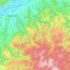
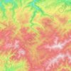
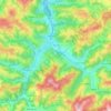
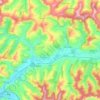
Dealu Frumos topographic map
Click on the map to display elevation.
About this map
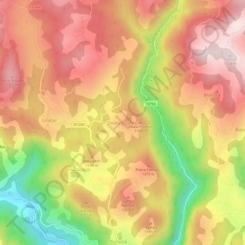
Name: Dealu Frumos topographic map, elevation, terrain.
Location: Dealu Frumos, Gârda de Sus, Alba, 517312, Romania (46.47015 22.81312 46.51015 22.85312)
Average elevation: 1,105 m
Minimum elevation: 748 m
Maximum elevation: 1,348 m
Other topographic maps
Click on a map to view its topography, its elevation and its terrain.
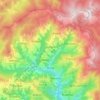

Sântimbru
The commune is located in central Alba County, 9 km (5.6 mi) north of the county seat, Alba Iulia. It is situated on the Transylvanian Plateau, at an altitude of 216 m (709 ft). It lies on the banks of the river Mureș; the river Galda flows into the Mureș in Sântimbru.
Average elevation: 271 m

Râmeț
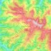
The commune is situated in the Trascău Mountains, at a mean altitude of 473 m (1,552 ft), on the banks of the rivers Gârbova and Geoagiu. It is located in the northern part of Alba County, 20 km (12 mi) northwest of Teiuș, 25 km (16 mi) west of Aiud, and 37 km (23 mi) north of the county seat, Alba Iulia.
Average elevation: 810 m


Rimetea
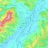
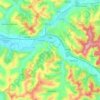
Rimetea lies in the Apuseni Mountains of central Transylvania, in a valley 23 kilometres (14 miles) north of Aiud. The village rests at an altitude of 650 metres (2,130 feet), on the banks of the river Rimetea. It is nestled between the peaks of Piatra Secuiului (1,128 m (3,701 ft)) and Ardașcheia (1,250 m…
Average elevation: 735 m