
Chishti Sharif topographic map
Interactive map
Click on the map to display elevation.
About this map
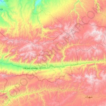
Name: Chishti Sharif topographic map, elevation, terrain.
Location: Chishti Sharif, Herat Province, Afghanistan (34.21993 63.45387 34.68933 64.47589)
Average elevation: 2,359 m
Minimum elevation: 1,249 m
Maximum elevation: 3,491 m
Other topographic maps
Click on a map to view its topography, its elevation and its terrain.