
Lhuntse District topographic map
Interactive map
Click on the map to display elevation.
About this map
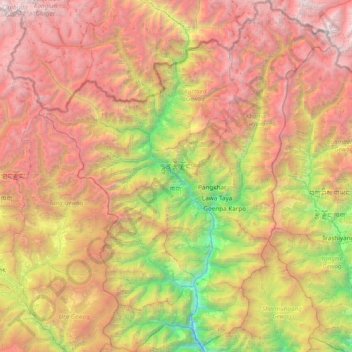
Name: Lhuntse District topographic map, elevation, terrain.
Location: Lhuntse District, Bhutan (27.39033 90.85462 28.06622 91.47457)
Average elevation: 3,429 m
Minimum elevation: 876 m
Maximum elevation: 6,369 m
Other topographic maps
Click on a map to view its topography, its elevation and its terrain.