
The ancient city of Ur topographic map
Interactive map
Click on the map to display elevation.
About this map
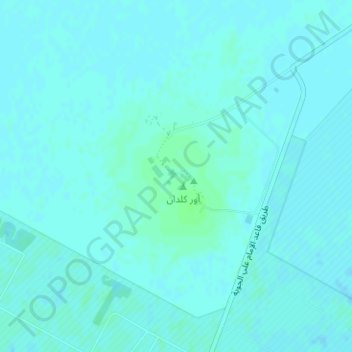
Name: The ancient city of Ur topographic map, elevation, terrain.
Average elevation: 6 m
Minimum elevation: 4 m
Maximum elevation: 11 m
Other topographic maps
Click on a map to view its topography, its elevation and its terrain.
Euphrates
Iraq > Dhi Qar Governorate > Nasiriyah
Both the Kara Su and the Murat Su rise northwest from Lake Van at elevations of 3,290 metres (10,790 ft) and 3,520 metres (11,550 ft) amsl, respectively. At the location of the Keban Dam, the two rivers, now combined into the Euphrates, have dropped to an elevation of 693 metres (2,274 ft) amsl. From Keban to…
Average elevation: 6 m
Jamaat ash Shaykh
Iraq > Dhi Qar Governorate > Harran as Sajit > Jamaat ash Shaykh
Average elevation: 7 m
Al Kurmashiyah ash Sharqiyah
Iraq > Dhi Qar Governorate > Al Kurmashiyah ash Sharqiyah
Average elevation: 4 m