Geolocate

Aplaya topographic map

Click on the map to display elevation.

About this map

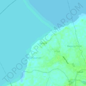
Name: Aplaya topographic map, elevation, terrain.

Location: Aplaya, Pila, Laguna, Calabarzon, 4010, Philippines (14.23867 121.33278 14.27867 121.37278)

Average elevation: 3 m

Minimum elevation: -5 m

Maximum elevation: 10 m

Gear up for your next adventure:

🌦️Portable Weather Meters - Handheld tools for monitoring weather conditions
🚲Bikepacking Frame Bags - Storage for tools and navigation gear on long off-road rides
🔦Waterproof LED Headlamps - Hands-free lighting for evening treks and emergency navigation
🧥Waterproof Hiking Jackets - Rain protection for walking in all weather conditions
🔋Power Banks - Portable chargers for long outdoor trips

As an Amazon Associate, this site earns from qualifying purchases at no extra cost to you.