
Upper Japanese Falls topographic map
Interactive map
Click on the map to display elevation.
About this map
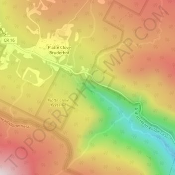
Name: Upper Japanese Falls topographic map, elevation, terrain.
Location: Upper Japanese Falls, Greene County, New York, United States (42.13096 -74.08288 42.13106 -74.08278)
Average elevation: 618 m
Minimum elevation: 249 m
Maximum elevation: 901 m
Other topographic maps
Click on a map to view its topography, its elevation and its terrain.
Village of Tannersville
United States > New York > Greene County
Tannersville is located in southern Greene County at 42°11′37″N 74°8′20″W / 42.19361°N 74.13889°W / 42.19361; -74.13889 (42.193619, -74.139011), in the northern part of the town of Hunter. It is situated at an elevation of 1,900 feet (580 m) in the Catskill Mountains just west of the…
Average elevation: 613 m
Platte Clove
United States > New York > Greene County > Town of Hunter > Platte Clove Bruderhof
Average elevation: 575 m
Town of Halcott
United States > New York > Greene County
The pass between Bearpen and neighboring Vly Mountain is traversed by Halcott Mountain Road, an unimproved county highway which reaches 2,800 feet (850 m) at the col, making it the highest elevation free public through road in New York State. It is also the only route between Halcott and the rest of Greene…
Average elevation: 720 m