Geolocate

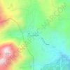
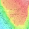
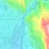
Vineyard topographic map

Click on the map to display elevation.

About this map
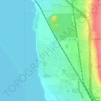
Name: Vineyard topographic map, elevation, terrain.

Location: Vineyard, Utah County, Utah, 84059, United States (40.27835 -111.77242 40.33345 -111.73237)

Average elevation: 1,382 m

Minimum elevation: 1,366 m

Maximum elevation: 1,447 m

Other topographic maps

Click on a map to view its topography, its elevation and its terrain.
Spanish Fork Peak

United States > Utah > Utah County

Average elevation: 2,720 m

Lone Peak

United States > Utah > Utah County

Average elevation: 3,013 m

Mount Timpanogos

United States > Utah > Utah County

Average elevation: 3,139 m

Bald Mountain Overlook

United States > Utah > Utah County

Average elevation: 2,552 m

Mount Nebo

United States > Utah > Utah County

Average elevation: 3,115 m

Nutty Putty Cave

United States > Utah > Utah County

Average elevation: 1,547 m

Mount Timpanogos

United States > Utah > Utah County

Average elevation: 3,139 m

Curtis

United States > Utah > Utah County > Orem

Average elevation: 1,433 m

Mount Timpanogos

United States > Utah > Utah County

Average elevation: 3,139 m

Caryhurst

United States > Utah > Utah County > Provo

Average elevation: 1,563 m

Birdseye

United States > Utah > Utah County

Average elevation: 1,780 m

Pleasant View

United States > Utah > Utah County > Provo

Average elevation: 1,446 m

Townsend

United States > Utah > Utah County > Genola

Average elevation: 1,438 m

Lone Peak

United States > Utah > Utah County

Average elevation: 3,013 m

Gear up for your next adventure:

👕Technical Hiking Tees - Moisture-management for high-exertion climbs
🧣Neck Gaiters - Versatile protection against wind and cold
🍲Portable Camping Stoves - Fast-boiling stoves for hot meals on remote topographic survey trips
📱Phone Mounts for Hiking - Secure mounts to carry your phone on trails
🧭GPS Trackers - Tracking devices for safety and navigation

As an Amazon Associate, this site earns from qualifying purchases at no extra cost to you.