
Dortmund-Ems-Kanal topographic map
Interactive map
Click on the map to display elevation.
About this map
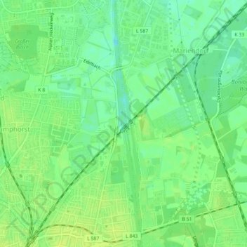
Name: Dortmund-Ems-Kanal topographic map, elevation, terrain.
Average elevation: 58 m
Minimum elevation: 49 m
Maximum elevation: 64 m
Other topographic maps
Click on a map to view its topography, its elevation and its terrain.
Munster
Duitsland > Noordrijn-Westfalen > Munster
Munster, Noordrijn-Westfalen, 48143, Duitsland
Average elevation: 62 m