
釧路市 topographic map
Interactive map
Click on the map to display elevation.
About this map
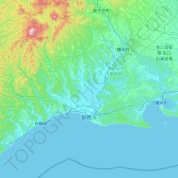
Name: 釧路市 topographic map, elevation, terrain.
Location: 釧路市, 釧路総合振興局, 北海道, 日本 (42.69605 143.70283 43.53117 144.55309)
Average elevation: 126 m
Minimum elevation: -3 m
Maximum elevation: 1,456 m
Other topographic maps
Click on a map to view its topography, its elevation and its terrain.