Geolocate

Prescott topographic map

Click on the map to display elevation.

About this map

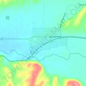
Name: Prescott topographic map, elevation, terrain.

Location: Prescott, Walla Walla County, Washington, United States (46.29288 -118.32131 46.30232 -118.30408)

Average elevation: 332 m

Minimum elevation: 308 m

Maximum elevation: 414 m

Other topographic maps

Click on a map to view its topography, its elevation and its terrain.

Langdon

United States > Washington > Walla Walla County

Average elevation: 276 m

Ruxby

United States > Washington > Walla Walla County

Average elevation: 285 m

Gear up for your next adventure:

🧢Waterproof Hiking Hats - Keep the rain off your face while studying topographic maps
🛰️Handheld GPS Devices - Reliable GPS units for hiking and outdoor navigation
🕶️Glacier Goggles - Maximum protection for high-altitude snow topography
🥤Collapsible Water Bottles - Save space in your rucksack as you consume your water
🧭Orienteering Compasses - Accurate compasses for map-based navigation

As an Amazon Associate, this site earns from qualifying purchases at no extra cost to you.