
Nannerch topographic map
Click on the map to display elevation.
About this map
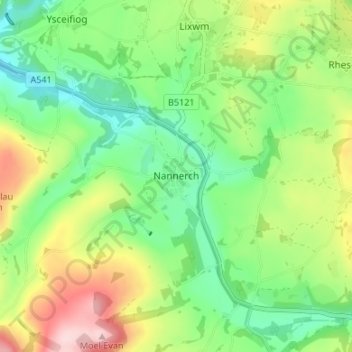
Name: Nannerch topographic map, elevation, terrain.
Location: Nannerch, Flintshire, Wales, CH7 5RE, United Kingdom (53.19623 -3.27037 53.23623 -3.23037)
Average elevation: 199 m
Minimum elevation: 108 m
Maximum elevation: 354 m
Flintshire trails, hiking, mountain biking, running and outdoor activities
Other topographic maps
Click on a map to view its topography, its elevation and its terrain.