
Shwebo District topographic map
Interactive map
Click on the map to display elevation.
About this map
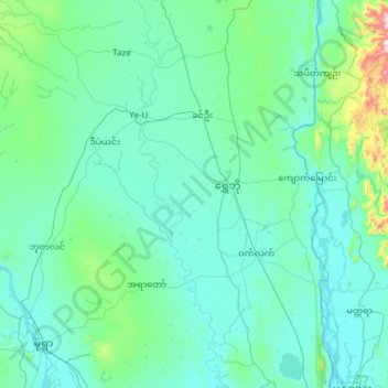
Name: Shwebo District topographic map, elevation, terrain.
Location: Shwebo District, Sagaing, Myanmar (22.17475 94.81616 22.90471 96.01015)
Average elevation: 151 m
Minimum elevation: 61 m
Maximum elevation: 1,358 m
Other topographic maps
Click on a map to view its topography, its elevation and its terrain.
Shwebo Township
Myanmar > Sagaing > Shwebo District > Shwebo Township
Shwebo Township, Shwebo District, Sagaing, Myanmar
Average elevation: 113 m