
Jarocin County topographic map
Interactive map
Click on the map to display elevation.
About this map
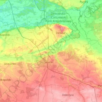
Name: Jarocin County topographic map, elevation, terrain.
Location: Jarocin County, Greater Poland Voivodeship, Poland (51.87340 17.18640 52.14567 17.72356)
Average elevation: 104 m
Minimum elevation: 62 m
Maximum elevation: 156 m
Other topographic maps
Click on a map to view its topography, its elevation and its terrain.