
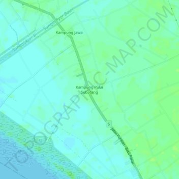
Kampung Pulai Sebatang topographic map
Interactive map
Click on the map to display elevation.
About this map
Name: Kampung Pulai Sebatang topographic map, elevation, terrain.
Location: Kampung Pulai Sebatang, Pontian, Johor, 82100, Malaysia (1.55011 103.32943 1.59011 103.36943)
Average elevation: 4 m
Minimum elevation: 0 m
Maximum elevation: 9 m
Other topographic maps
Click on a map to view its topography, its elevation and its terrain.
Kampung Jawa
Kampung Jawa, Pontian, Johor, 82100, Malaysia
Average elevation: 4 m
Kayu Ara Pasong
Malaysia > Johor > Pontian > Kayu Ara Pasong
Kayu Ara Pasong, Pontian, Johor, 82000, Malaysia
Average elevation: 6 m
Sungai Ayer Hitam
Sungai Ayer Hitam, Pontian, Iskandar Malaysia, Johor, 82000, Malaysia
Average elevation: 9 m