
Ufs topographic map
Interactive map
Click on the map to display elevation.
About this map
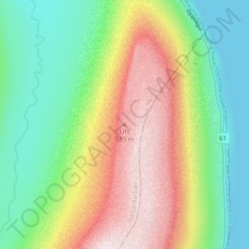
Name: Ufs topographic map, elevation, terrain.
Location: Ufs, Ísafjarðarbær, Vestfirðir, 420, Ísland (66.07060 -23.01397 66.07070 -23.01387)
Average elevation: 232 m
Minimum elevation: 0 m
Maximum elevation: 581 m
Other topographic maps
Click on a map to view its topography, its elevation and its terrain.