
Penggaram Waterfront Park topographic map
Interactive map
Click on the map to display elevation.
About this map
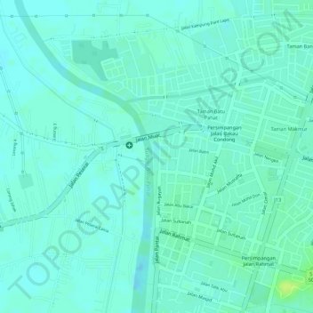
Name: Penggaram Waterfront Park topographic map, elevation, terrain.
Average elevation: 5 m
Minimum elevation: -1 m
Maximum elevation: 15 m
Other topographic maps
Click on a map to view its topography, its elevation and its terrain.
Parit Bukit Batu Pasir
Malaysia > Johor > Batu Pahat > Kampung Bukit Batu Pasir Darat
Average elevation: 5 m