
Wardville topographic map
Interactive map
Click on the map to display elevation.
About this map
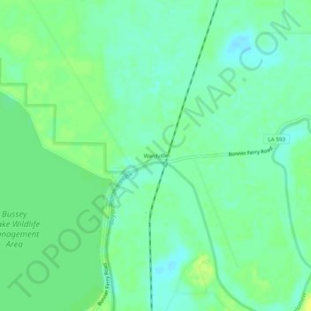
Name: Wardville topographic map, elevation, terrain.
Location: Wardville, Morehouse Parish, Louisiana, United States (32.85485 -91.92513 32.89485 -91.88513)
Average elevation: 30 m
Minimum elevation: 22 m
Maximum elevation: 40 m
Other topographic maps
Click on a map to view its topography, its elevation and its terrain.
Bastrop
United States > Louisiana > Morehouse Parish > Bastrop > Bastrop
Bastrop, Morehouse Parish, Louisiana, 71220, United States
Average elevation: 38 m