
Krayan Jaya topographic map
Interactive map
Click on the map to display elevation.
About this map
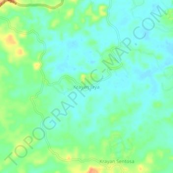
Name: Krayan Jaya topographic map, elevation, terrain.
Location: Krayan Jaya, Paser, East Kalimantan, Indonesia (-1.60159 116.23829 -1.56159 116.27829)
Average elevation: 18 m
Minimum elevation: 5 m
Maximum elevation: 45 m
Other topographic maps
Click on a map to view its topography, its elevation and its terrain.