
銅川 topographic map
Interactive map
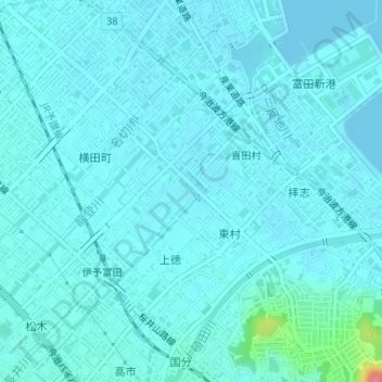
Click on the map to display elevation.
About this map
Name: 銅川 topographic map, elevation, terrain.
Location: 銅川, Kitamura, Imabari, Ehime Prefecture, 794-0069, Japan (34.03421 133.00991 34.04800 133.02181)
Average elevation: 9 m
Minimum elevation: 0 m
Maximum elevation: 84 m