
Motoyama topographic map
Interactive map
Click on the map to display elevation.
About this map
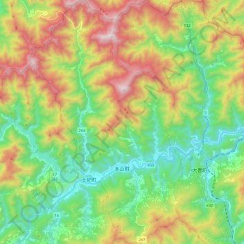
Name: Motoyama topographic map, elevation, terrain.
Location: Motoyama, Nagaoka County, Kochi Prefecture, 781-3601, Japan (33.70172 133.50651 33.88244 133.64331)
Average elevation: 679 m
Minimum elevation: 211 m
Maximum elevation: 1,484 m