
Karjat topographic map
Interactive map
Click on the map to display elevation.
About this map
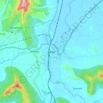
Name: Karjat topographic map, elevation, terrain.
Location: Karjat, Raigad, Maharashtra, 410201, India (18.87277 73.28282 18.95277 73.36282)
Average elevation: 109 m
Minimum elevation: 41 m
Maximum elevation: 612 m
Other topographic maps
Click on a map to view its topography, its elevation and its terrain.