
Kampung Bukit Manek topographic map
Interactive map
Click on the map to display elevation.
About this map
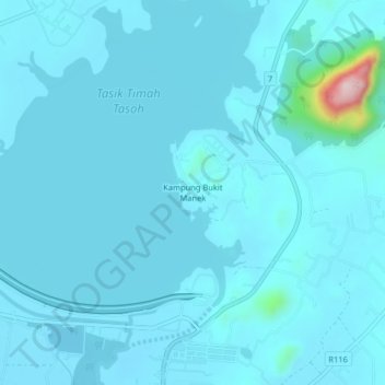
Name: Kampung Bukit Manek topographic map, elevation, terrain.
Location: Kampung Bukit Manek, Perlis, 02400, Malaysia (6.55628 100.21225 6.59628 100.25225)
Average elevation: 38 m
Minimum elevation: 18 m
Maximum elevation: 334 m
Other topographic maps
Click on a map to view its topography, its elevation and its terrain.