
Al Wadiyayn topographic map
Interactive map
Click on the map to display elevation.
About this map
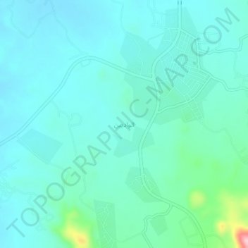
Name: Al Wadiyayn topographic map, elevation, terrain.
Location: Al Wadiyayn, Ahad Rufaydah, 'Asir Province, Saudi Arabia (18.06557 42.78254 18.10557 42.82254)
Average elevation: 2,249 m
Minimum elevation: 2,216 m
Maximum elevation: 2,428 m
Other topographic maps
Click on a map to view its topography, its elevation and its terrain.