Geolocate

Sah topographic map

Interactive map

Click on the map to display elevation.

About this map

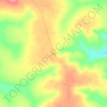
Name: Sah topographic map, elevation, terrain.

Location: Sah, Ouham-Pendé, Central African Republic (6.70649 15.41558 6.74649 15.45558)

Average elevation: 1,226 m

Minimum elevation: 1,174 m

Maximum elevation: 1,266 m

Other topographic maps

Click on a map to view its topography, its elevation and its terrain.

Kokol

Central African Republic > Ouham-Pendé

Kokol, Ouham-Pendé, Central African Republic

Average elevation: 673 m

Bang

Central African Republic > Ouham-Pendé

Bang, Ouham-Pendé, Central African Republic

Average elevation: 607 m

De Gaulle

Central African Republic > Ouham-Pendé > De Gaulle

De Gaulle, Ouham-Pendé, Central African Republic

Average elevation: 1,155 m

Bokaya

Central African Republic > Ouham-Pendé > Bokaya

Bokaya, Ouham-Pendé, Central African Republic

Average elevation: 899 m

Bocaranga

Central African Republic > Ouham-Pendé > Bocaranga

Bocaranga, Ouham-Pendé, Central African Republic

Average elevation: 1,026 m