
Las Brisas topographic map
Interactive map
Click on the map to display elevation.
About this map
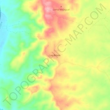
Name: Las Brisas topographic map, elevation, terrain.
Location: Las Brisas, San Onofre, Morrosquillo, Sucre, Colombia (9.81505 -75.61395 9.85505 -75.57395)
Average elevation: 70 m
Minimum elevation: 0 m
Maximum elevation: 142 m
Other topographic maps
Click on a map to view its topography, its elevation and its terrain.
Corregimiento Higueron
Colombia > Sucre > San Onofre > Corregimiento Higueron
Corregimiento Higueron, San Onofre, Morrosquillo, Sucre, Colombia
Average elevation: 66 m