Geolocate

Ottine topographic map

Click on the map to display elevation.

About this map

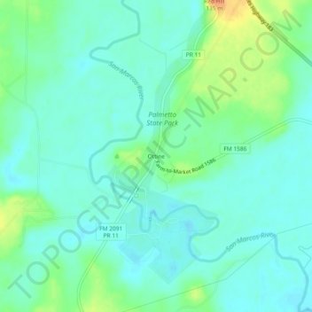
Name: Ottine topographic map, elevation, terrain.

Location: Ottine, Gonzales County, Texas, United States (29.57801 -97.60416 29.61801 -97.56416)

Average elevation: 104 m

Minimum elevation: 92 m

Maximum elevation: 135 m

Other topographic maps

Click on a map to view its topography, its elevation and its terrain.

Waelder

United States > Texas > Gonzales County

Average elevation: 118 m

Smiley

United States > Texas > Gonzales County > Smiley

Average elevation: 90 m

Gear up for your next adventure:

Insulated Travel Mugs - Keep drinks hot while surveying the landscape from a summit
🛰️Handheld GPS Devices - Reliable GPS units for hiking and outdoor navigation
🧴Sport Sunscreen Sticks - High-protection sunblock that won't run into your eyes on the trail
🚲Bikepacking Frame Bags - Storage for tools and navigation gear on long off-road rides
🍱Food Containers - Reusable containers for outdoor meals

As an Amazon Associate, this site earns from qualifying purchases at no extra cost to you.