
Ataköy topographic map
Interactive map
Click on the map to display elevation.
About this map
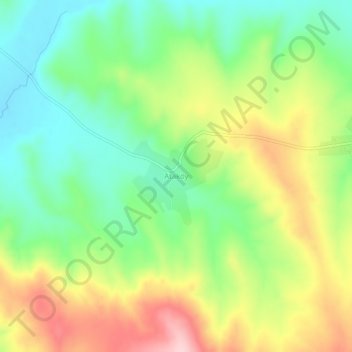
Name: Ataköy topographic map, elevation, terrain.
Location: Ataköy, Haymana, Ankara, Central Anatolia Region, Turkey (39.25438 32.49772 39.29438 32.53772)
Average elevation: 1,106 m
Minimum elevation: 1,015 m
Maximum elevation: 1,241 m