
Kappl topographic map
Interactive map
Click on the map to display elevation.
About this map
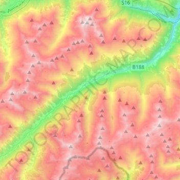
Name: Kappl topographic map, elevation, terrain.
Location: Kappl, Bezirk Landeck, Tyrol, Austria (46.99061 10.28676 47.11622 10.53075)
Average elevation: 2,104 m
Minimum elevation: 881 m
Maximum elevation: 3,131 m
Other topographic maps
Click on a map to view its topography, its elevation and its terrain.
Pettneu am Arlberg
Austria > Tyrol > Bezirk Landeck > Gemeinde Pettneu am Arlberg > Pettneu am Arlberg
Average elevation: 1,614 m