
Gena topographic map
Interactive map
Click on the map to display elevation.
About this map
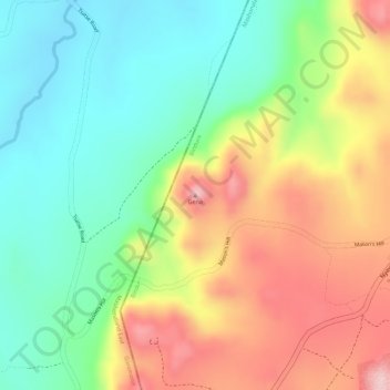
Name: Gena topographic map, elevation, terrain.
Location: Gena, Bindura, Mashonaland Central Province, Zimbabwe (-17.59242 31.29305 -17.59232 31.29315)
Average elevation: 1,327 m
Minimum elevation: 1,227 m
Maximum elevation: 1,452 m
Other topographic maps
Click on a map to view its topography, its elevation and its terrain.