
Takarazuka topographic map
Interactive map
Click on the map to display elevation.
About this map
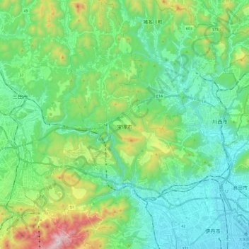
Name: Takarazuka topographic map, elevation, terrain.
Location: Takarazuka, Hyogo Prefecture, Japan (34.77207 135.27444 34.96238 135.41329)
Average elevation: 228 m
Minimum elevation: 5 m
Maximum elevation: 916 m