
Midori topographic map
Interactive map
Click on the map to display elevation.
About this map
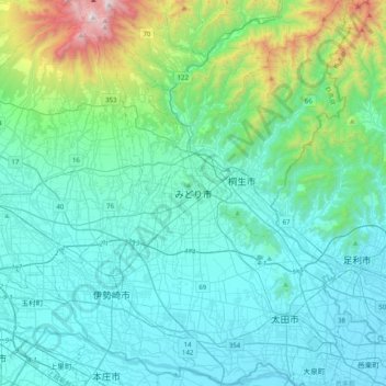
Name: Midori topographic map, elevation, terrain.
Location: Midori, Gunma Prefecture, 379-2313, Japan (36.23480 139.12097 36.55480 139.44097)
Average elevation: 276 m
Minimum elevation: 22 m
Maximum elevation: 1,671 m