
Portslade by Sea topographic map
Interactive map
Click on the map to display elevation.
About this map
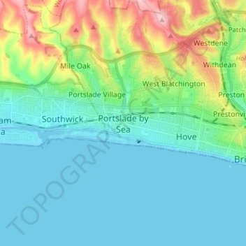
Name: Portslade by Sea topographic map, elevation, terrain.
Average elevation: 35 m
Minimum elevation: -1 m
Maximum elevation: 156 m
Brighton and Hove trails, hiking, mountain biking, running and outdoor activities
Other topographic maps
Click on a map to view its topography, its elevation and its terrain.