
Rottingdean topographic map
Click on the map to display elevation.
About this map
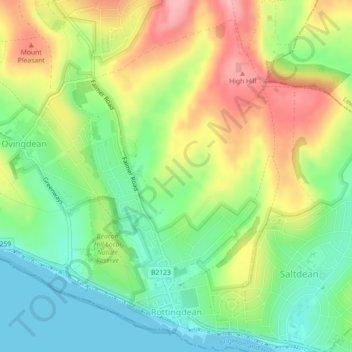
Name: Rottingdean topographic map, elevation, terrain.
Location: Rottingdean, Brighton and Hove, England, United Kingdom (50.80018 -0.07048 50.82836 -0.03955)
Average elevation: 56 m
Minimum elevation: 0 m
Maximum elevation: 131 m
Brighton and Hove trails, hiking, mountain biking, running and outdoor activities
Other topographic maps
Click on a map to view its topography, its elevation and its terrain.