Geolocate

Dayr Hamzah topographic map

Interactive map

Click on the map to display elevation.

About this map

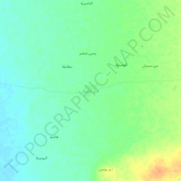
Name: Dayr Hamzah topographic map, elevation, terrain.

Location: Dayr Hamzah, Bajil District, Al Hudaydah Governorate, Yemen (15.07222 43.04194 15.11222 43.08194)

Average elevation: 69 m

Minimum elevation: 56 m

Maximum elevation: 92 m

Other topographic maps

Click on a map to view its topography, its elevation and its terrain.

Saba Island

Yemen > Al Hudaydah Governorate

Average elevation: 2 m

Zabid District

Yemen > Al Hudaydah Governorate

Average elevation: 194 m

Hays District

Yemen > Al Hudaydah Governorate

Average elevation: 284 m

Bura District

Yemen > Al Hudaydah Governorate

Average elevation: 707 m

Saba Island

Yemen > Al Hudaydah Governorate

Average elevation: 2 m

Bajil District

Yemen > Al Hudaydah Governorate

Average elevation: 218 m