Geolocate

Jung-gu topographic map

Interactive map

Click on the map to display elevation.

About this map

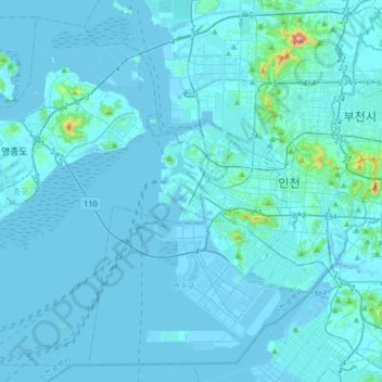
Name: Jung-gu topographic map, elevation, terrain.

Location: Jung-gu, Incheon, South Korea (37.33144 126.31685 37.56838 126.64404)

Average elevation: 13 m

Minimum elevation: -3 m

Maximum elevation: 375 m

Other topographic maps

Click on a map to view its topography, its elevation and its terrain.

Seo-gu

South Korea > Incheon

Average elevation: 23 m

Yeonsu-gu

South Korea > Incheon

Average elevation: 10 m

Seobudong Park

South Korea > Incheon

Average elevation: 30 m

Yeonhui-dong

South Korea > Incheon > Seo-gu > Yeonhui-dong

Average elevation: 22 m

Seungbong-ri

South Korea > Incheon

Average elevation: 4 m

Yeonhui-dong

South Korea > Incheon > Yeonhui-dong

Average elevation: 19 m