
Golts topographic map
Interactive map
Click on the map to display elevation.
About this map
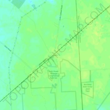
Name: Golts topographic map, elevation, terrain.
Location: Golts, Kent County, Maryland, United States (39.31678 -75.79466 39.35678 -75.75466)
Average elevation: 22 m
Minimum elevation: 14 m
Maximum elevation: 27 m
Other topographic maps
Click on a map to view its topography, its elevation and its terrain.