
Jehay topographic map
Interactive map
Click on the map to display elevation.
About this map
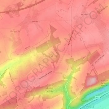
Name: Jehay topographic map, elevation, terrain.
Location: Jehay, Amay, Huy, Liège, Wallonie, 4540, Belgique (50.56352 5.28520 50.59187 5.34424)
Average elevation: 177 m
Minimum elevation: 44 m
Maximum elevation: 221 m
Other topographic maps
Click on a map to view its topography, its elevation and its terrain.