
Nijkerk topographic map
Interactive map
Click on the map to display elevation.
About this map
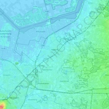
Name: Nijkerk topographic map, elevation, terrain.
Location: Nijkerk, Gelderland, Netherlands (52.16576 5.39321 52.26392 5.63486)
Average elevation: 5 m
Minimum elevation: -6 m
Maximum elevation: 48 m
Other topographic maps
Click on a map to view its topography, its elevation and its terrain.