
Patiya topographic map
Interactive map
Click on the map to display elevation.
About this map
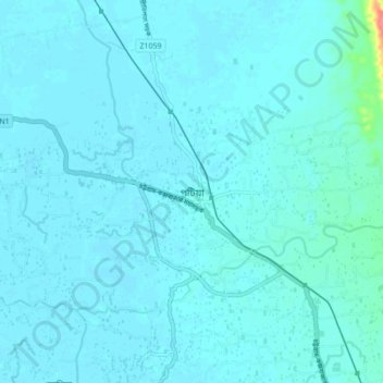
Name: Patiya topographic map, elevation, terrain.
Average elevation: 7 m
Minimum elevation: 2 m
Maximum elevation: 71 m
Other topographic maps
Click on a map to view its topography, its elevation and its terrain.
Chattogram District
Bangladesh > Chattogram Division
The district's topography is primarily defined by a series of low hill ranges running roughly parallel to the coast and with each other. Between these hill ranges are broad alluvial valleys with sandstone bedrock, and they are also divided by several major rivers, namely the Karnaphuli and Sangu. The most…
Average elevation: 28 m
Camp 21
Bangladesh > Chattogram Division > Rohingya Refugee Camp in Bangladesh
Average elevation: 15 m
Sitakunda Upazila
Bangladesh > Chattogram Division
Sitakunda Upazila occupies an area of 483.97 square kilometres (186.86 sq mi), which includes 61.61 square kilometres (23.79 sq mi) of forest. It is bordered by Mirsharai to the north, Pahartali to the south, Fatickchhari, Hathazari and Panchlaish to the east, and the Sandwip Channel in the Bay of Bengal to…
Average elevation: 15 m
Waggachara Tea Estate
Bangladesh > Chattogram Division > Rangamati Hill District
Average elevation: 64 m
Kutupalong RC
Bangladesh > Chattogram Division > Rohingya Refugee Camp in Bangladesh
Average elevation: 14 m