
Eureka topographic map
Interactive map
Click on the map to display elevation.
About this map
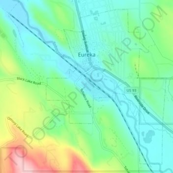
Name: Eureka topographic map, elevation, terrain.
Location: Eureka, Lincoln County, Montana, United States (48.86286 -115.06314 48.88706 -115.03452)
Average elevation: 832 m
Minimum elevation: 775 m
Maximum elevation: 968 m
Other topographic maps
Click on a map to view its topography, its elevation and its terrain.