
Point Barrow topographic map
Interactive map
Click on the map to display elevation.
About this map
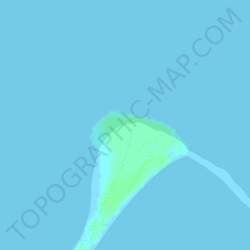
Name: Point Barrow topographic map, elevation, terrain.
Location: Point Barrow, North Slope, Alaska, United States (71.38647 -156.47419 71.38657 -156.47409)
Average elevation: 0 m
Minimum elevation: 0 m
Maximum elevation: 4 m
Other topographic maps
Click on a map to view its topography, its elevation and its terrain.
Anaktuvuk Pass
United States > Alaska > North Slope
Anaktuvuk Pass is slightly north of the Brooks Range on the divide between the Anaktuvuk River and the John River, at an elevation of 2,200 ft (670 m). Anaktuvuk Pass is the last remaining settlement of the Nunamiut (People of the Land) Iñupiat Inuit in Alaska.
Average elevation: 727 m