
Blows Row topographic map
Interactive map
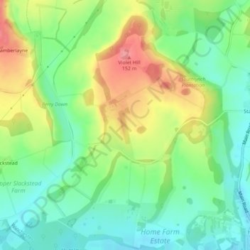
Click on the map to display elevation.
About this map
Name: Blows Row topographic map, elevation, terrain.
Average elevation: 87 m
Minimum elevation: 49 m
Maximum elevation: 146 m
Hampshire trails, hiking, mountain biking, running and outdoor activities
Other topographic maps
Click on a map to view its topography, its elevation and its terrain.
Blackwood Forest
United Kingdom > England > Hampshire > Winchester > East Stratton
Average elevation: 132 m
Farley Chamberlayne
United Kingdom > England > Hampshire > Winchester > Hursley
Average elevation: 106 m
Brambridge
United Kingdom > England > Hampshire > Winchester > Colden Common > Brambridge
Average elevation: 37 m