
Riga topographic map
Interactive map
Click on the map to display elevation.
About this map
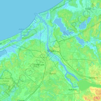
Name: Riga topographic map, elevation, terrain.
Location: Riga, Rīga, Vidzeme, LV-1811, Latvia (56.78940 23.94518 57.10940 24.26518)
Average elevation: 8 m
Minimum elevation: -4 m
Maximum elevation: 58 m
Other topographic maps
Click on a map to view its topography, its elevation and its terrain.