
Mount Santubong topographic map
Interactive map
Click on the map to display elevation.
About this map
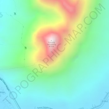
Name: Mount Santubong topographic map, elevation, terrain.
Location: Mount Santubong, Kuching, Kuching Division, Sarawak, Malaysia (1.73683 110.33249 1.73693 110.33259)
Average elevation: 304 m
Minimum elevation: 11 m
Maximum elevation: 812 m
Other topographic maps
Click on a map to view its topography, its elevation and its terrain.