
Mount Macaulay topographic map
Interactive map
Click on the map to display elevation.
About this map
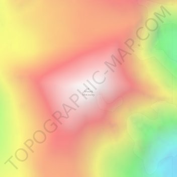
Name: Mount Macaulay topographic map, elevation, terrain.
Location: Mount Macaulay, Yukon, Canada (61.20987 -140.52657 61.20997 -140.52647)
Average elevation: 4,062 m
Minimum elevation: 3,023 m
Maximum elevation: 4,693 m
Other topographic maps
Click on a map to view its topography, its elevation and its terrain.