
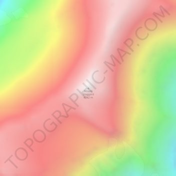
Mount Slaggard topographic map
Interactive map
Click on the map to display elevation.
About this map
Name: Mount Slaggard topographic map, elevation, terrain.
Location: Mount Slaggard, Yukon, Canada (61.17256 -140.58508 61.17266 -140.58498)
Average elevation: 4,229 m
Minimum elevation: 3,368 m
Maximum elevation: 4,735 m
Other topographic maps
Click on a map to view its topography, its elevation and its terrain.