
Mount Alverstone topographic map
Interactive map
Click on the map to display elevation.
About this map
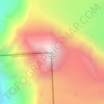
Name: Mount Alverstone topographic map, elevation, terrain.
Location: Mount Alverstone, Yukon, Canada (60.35262 -139.07447 60.35272 -139.07437)
Average elevation: 3,701 m
Minimum elevation: 2,738 m
Maximum elevation: 4,427 m
Other topographic maps
Click on a map to view its topography, its elevation and its terrain.