
Khlong Yai topographic map
Interactive map
Click on the map to display elevation.
About this map
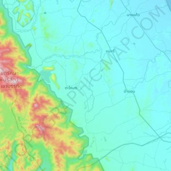
Name: Khlong Yai topographic map, elevation, terrain.
Location: Khlong Yai, Phatthalung Province, Thailand (7.12998 99.91926 7.44998 100.23926)
Average elevation: 148 m
Minimum elevation: -1 m
Maximum elevation: 1,060 m
Other topographic maps
Click on a map to view its topography, its elevation and its terrain.