
Ban Lam Pam topographic map
Interactive map
Click on the map to display elevation.
About this map
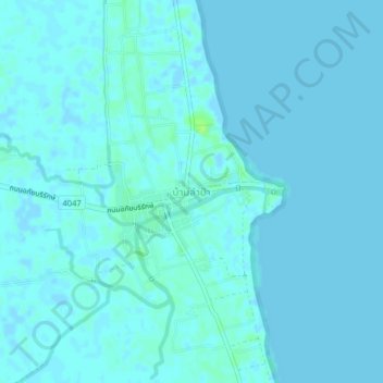
Name: Ban Lam Pam topographic map, elevation, terrain.
Location: Ban Lam Pam, Phaya Khan, Phatthalung Province, Thailand (7.60534 100.12943 7.64534 100.16943)
Average elevation: 2 m
Minimum elevation: -3 m
Maximum elevation: 11 m
Other topographic maps
Click on a map to view its topography, its elevation and its terrain.
Khlong Yai
Thailand > Phatthalung Province
Khlong Yai, Phatthalung Province, Thailand
Average elevation: 148 m
Ang Thong
Thailand > Phatthalung Province
Ang Thong, Phatthalung Province, Thailand
Average elevation: 132 m