
Malau topographic map
Interactive map
Click on the map to display elevation.
About this map
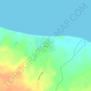
Name: Malau topographic map, elevation, terrain.
Location: Malau, Sanma, Vanuatu (-15.17279 166.84853 -15.16804 166.85524)
Average elevation: 13 m
Minimum elevation: 0 m
Maximum elevation: 42 m
Other topographic maps
Click on a map to view its topography, its elevation and its terrain.
Malo Island
Vanuatu > Sanma > Luganville
Malo Island, Luganville, Sanma, Vanuatu
Average elevation: 50 m